|
|
||||||
| A site based around our obsession. | |||||||
ATV Obsession Trails |
These are some of the trails we've taken. All waypoints and Trail Tracks were taken using a Magellan Xplorist XL GPS. All 2D and 3D Map shots were used using Magellan Mapsend Topo 3D. Earth shots are used using Google Earth Plus. |
This is pretty much the icon of ATV riding. You can't get much better than this, between variety of trails (easy to extreme), and scenery. Location: Moab, UT Click here to read more about Moab. Also included are GPS and Google Earth KMZ files. |
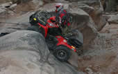
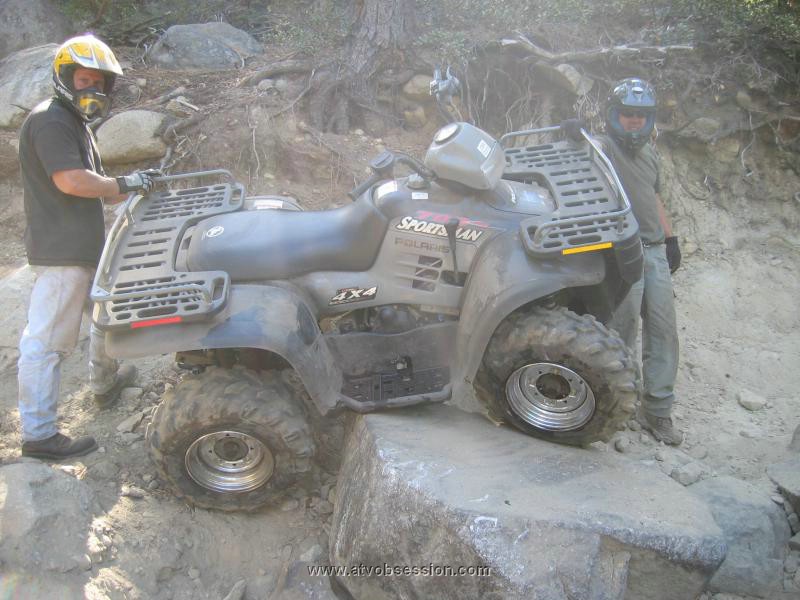
This is about as tough as it gets. Huge boulders, steep granite ascents and decents, water(spring) and snow(winter). Home of the Jeepers Jamboree. Please Tread Lightly. Pack in and Pack out EVERYTHING! Be a Friend Of The Rubicon. Location: Between Ice House Road on Hwy 50 and Homewood, CA on Hwy 89. Click here to read more about it. Also included are GPS points, satellite and 3D maps. |
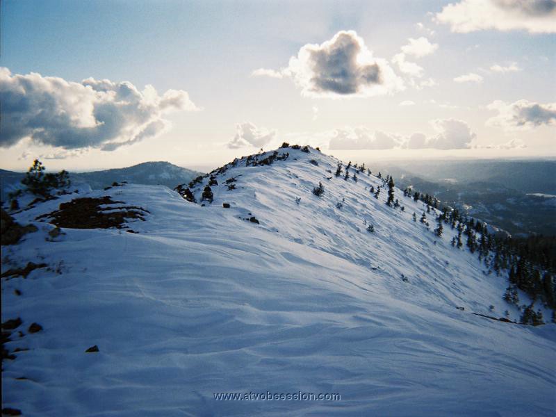
The entire Fordyce Creek Trail is as hard, or possibly harder than the Rubicon. Unfortunately, PG&E controls the water height of the 3 Fordyce river crossings that are required to complete the whole trail. This is usually only possible during the August Sierra Trek 4WD run. However, the first part of this trail, which starts at Eagle Lakes Road exit of I80, is still challenging. This is particularly true if you decide to go down to Fordyce River crossing #1 and complete the Signal Peak run. Add some snow into the picture....and it's downright brutal. Click here to read more about it. Also included are GPS points, satellite and 3D maps. |
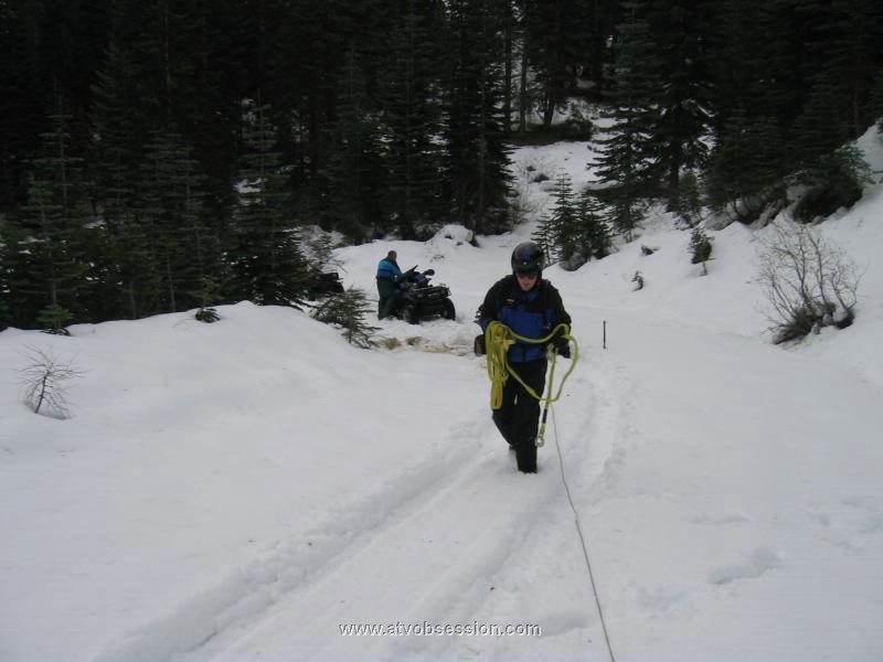
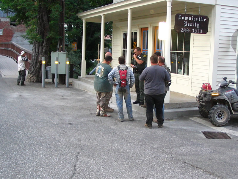
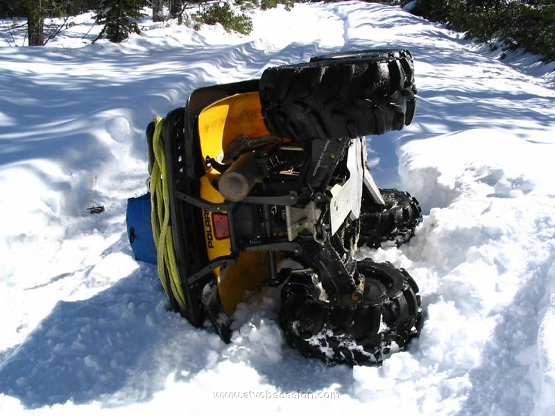
Poker Flat/Downieville: Outside of Downieville, Ca off Hwy 49, this area is huge. We've been here 4 times, and the 3 previous times had snow. We finally went in the summer, and ended up riding 67 miles (albeit 7 on the hwy...). Spectacular views...flat trails, rocky stuff...and trails for miles that we never even touched. Toss in some snow...and it's a beotch. Whatever you do....Stay off the RED part. The Sheriff will stop you. He was actually very nice about it. We won't try that again...will we Chadd? Click here to read more about it. Also included are GPS points, satellite and 3D maps. |
Gold Lake: Part of the same area around Downieville. This is farther away and has many trails around that deserve to have their own spot. There are many miles of trails that co-exist with the Pacific Crest Trail. The trails range from fast and flat...to steep and rocky. Click here to read more about it. Also included are GPS points, satellite and 3D maps. |
Bear Valley: The trails are endless, the riding is pretty fast and easy. You could spend weeks here. Have a good map, compass, GPS or prepare to tie ribbon on trees. You can get lost here REALLY EASILY! Click here to read more about it. Also included are GPS points, satellite and 3D maps. |
Nevada City - Graniteville - Diggins II as we've heard it called, is really mostly just roads. Once past the Malakoff State Park, there are lots of forest roads. Frankly, it's very unclear whether riding here (other than the Park) is ok. We've been here probably at least 10 times, always in the winter when a lot of the road is snow. We usually park at the Yuba River crossing, only because the road is winding. Unfortunately, the last time we rode through the park the Park Ranger stopped us, and told us (after passing through no less than 6 times) that we had to go around the park...so don't follow our trail through the park. Use Back Bone Road to go around. The rangers didn't mind we were riding, as long as it wasn't through the park. So who knows. Click here to read more about it. Also included are GPS points, satellite and 3D maps. |
Dusy-Ershim Trail - Coming Soon. |
|